
wewent.to
Every trip, one story — kept.
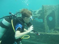
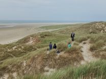
You sailed, skied, cycled, climbed and dove together. wewent.to gathers everyone's photos and GPS tracks onto one shared journey page, so the story stays whole — not scattered across seven phones and three apps.
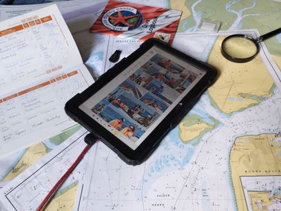
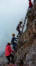

Memories of the trip scatter once you get home
- Photos split across everyone's phones, three group chats, and whoever remembered to back them up.
- The GPX track lives on somebody's smartwatch — or maybe tablet.
- Ask "where was this?" a year later, and nobody quite remembers.
One place for every kind of shared trip
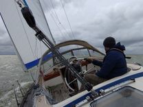
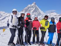
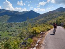
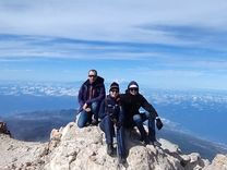
One journey page. Everyone's photos, notes and tracks. One shared map.
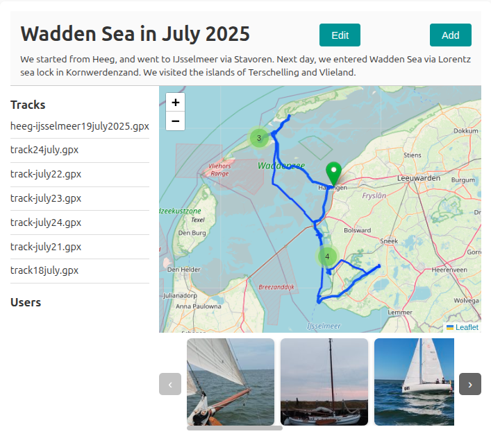
Every journey combines a map with the GPX tracks and photos your group contributed — so the whole trip can be explored geographically, not just scrolled through as a feed.
- Map-first. Tracks and photo markers live together on one map.
- Everyone contributes. Invite travelmates to add their own photos and tracks.
- Built to revisit. Comments and reactions keep the story alive long after the trip ends.
This is what "years later" looks like
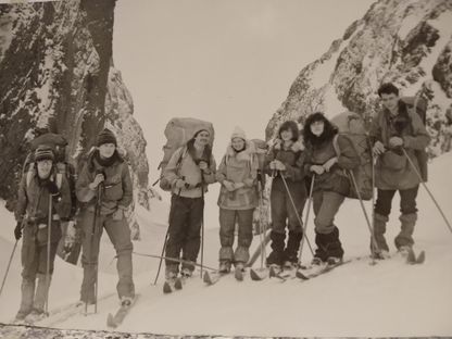
This photo is decades old. The ridge hasn't moved, and neither has the memory — which is exactly why wewent.to exists: so the journeys you're logging today are just as easy to find, and just as alive, in twenty years.